
Keep these fields in the source log
- Coordinates and reference system
- Layer, sensor, date and resolution
- Matching cues and contradictions
Public research resources · FR / EN
Which clues can confirm a place and period ? Practical method, external tools, source log and interpretation limits.
External services · no results hosted here · queries sent only when you click a provider link.
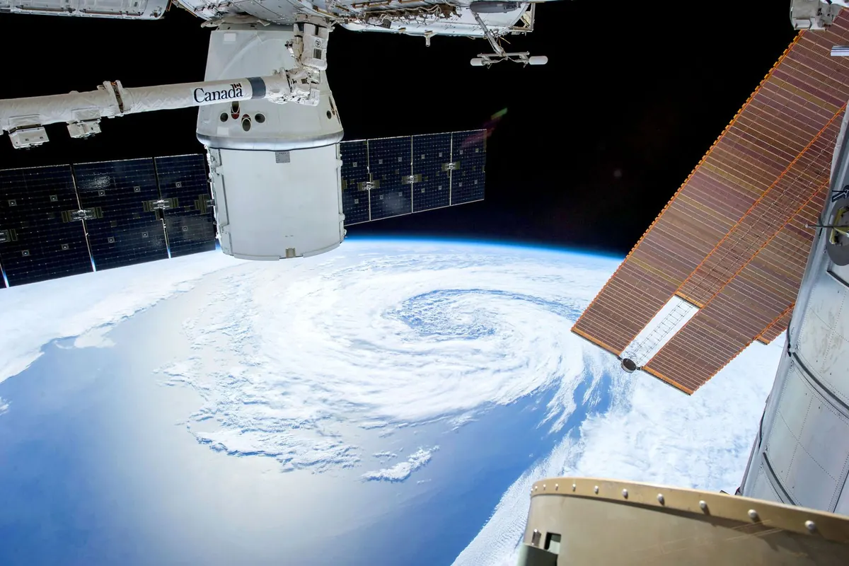
Landscape similarity does not confirm a location. Imagery may be old, cloudy or insufficiently detailed; distinguish geolocation from dating.
Editorial selection of external services and resources, described using their portals or documentation. References reviewed on 3 October 2026; availability, prices, quotas and interface languages can change. Subscriptions and paid features were not tested.
7 catalogue entries
Compare roads, buildings and place names with visual clues.
Limit: The map is community maintained; date and corroborate decisive details.
Explore terrain, buildings and available imagery around a location.
Limit: Images have different dates and resolutions; they may not show current conditions.
Choose an area, period and satellite product to compare observations.
Limit: Clouds, resolution and processing limit interpretation; retain product and acquisition date.
Inspect Earth observation layers and compare dates.
Limit: A thematic layer may be a derived product; read its legend and resolution.
Inspect hotspot detections and their temporal context.
Limit: A hotspot alone does not establish a wildfire, its cause or its extent.
Find coordinates, alternative names and places sharing a name.
Limit: Geographic namesakes require country, region and coordinate checks.
Consult French public maps and geographic layers.
Limit: Distinguish acquisition date, basemap updates and layer accuracy.
No matching catalogue entry. Try another term or reset the filters.
These downloads contain tool descriptions and links, not provider search results. Retain limitations, references and review dates when reusing the catalogue.
On the selected provider’s website, in a new tab. IIS does not retrieve, host or display investigation results. Directory filters only filter the editorial catalogue.
The launchpad builds links inside your browser, without sending the query to IIS or storing it in browser storage. Clicking a prepared link sends the query to the named provider, under its own rules.
No. Access may require an account, subscription, software or quota. The catalogue is available in French and English; providers set their interface languages, coverage and conditions.
No. Index coverage, spelling, language, access limits and capture dates can explain a missing result. Record what was searched and what remains unknown.